Demonstration Farm in Panabo City
Mr. D
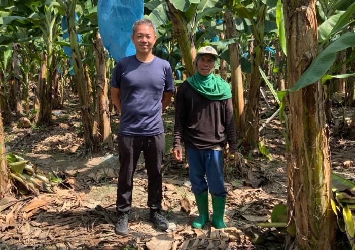
In the past, I had to walk through each of my fields to check on them and count plants. It was a very time intensive process.
I tried counting plants using aerial photographs, and it showed me the potential for using this approach to assess the conditions of all my fields in much less time.
I believe I could also use this to forecast crop yields, which would help me conduct more systematic cultivation management.
Discovering missing plants or growth abnormalities early on would enable me to take rapid steps to prevent the spread of disease.
I don’t just see this solution as a way to make cultivation management more efficient, but also as a new tool that will help me out with making management decisions.